The New Jersey Pine Barrens, comprising approximately 1.4 million acres, represents the most extensive wilderness tract along the mid-Atlantic seaboard.
Ecologically, it consists of generally flat, sandy, acidic soils, deposited in the region following the Atlantic Coastal Plains submergence under the Atlantic Ocean during the Cretaceous and Tertiary periods (approximately 135 to 5 million years ago).
The process of deposition, sea level change and erosion are responsible for the present topographic and hydrologic features of the Pine Barrens. The streams in the Pinelands are typically slow moving and shallow because of the very low topographic gradient.
In addition, the Pine Barrens is underlain by the shallow Kirkwood-Cohansey Aquifer, which provides approximately 90 percent of all the water to streams, rivers and wetlands in the area. This combination of sandy soils and groundwater fed streams supports the unique ecosystem that today we call the Pine Barrens. New Jersey’s network of rivers, wetlands and ground water is the source of life from the Pinelands to the Jersey Shore to the Delaware River and beyond. Millions of people depend on New Jersey’s ground water every day for drinking, their economic wellbeing and quality of life.
Groundwater and Aquifers
Learn about the Kirkwood-Cohansey and other aquifers in south Jersey.

Streams, Rivers and Watershed

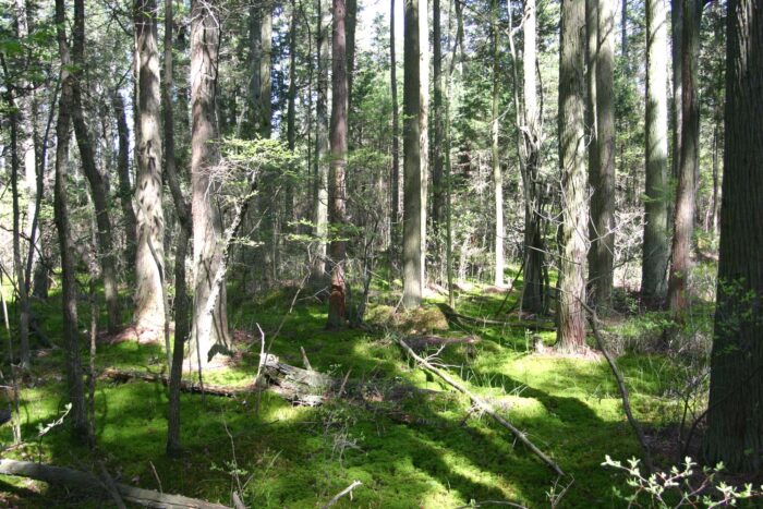
Forests and Water
Stormwater

Threats to Water

Learn more about water in the Pines by visiting the Save the Source campaign.